
 Resources
 Campus Life
 Just for you


 My Canyons
  Canvas
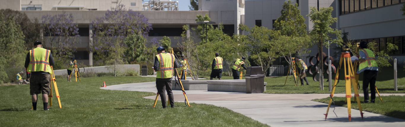
AS Degree & Certificates
NOT SURE WHAT TO TAKE OR HOW TO GET STARTED?
Check out the Program Plans which show the recommended course sequence.
The Land Surveying Program offers both an Associate of Science Degree and a Certificate of Achievement.
The only difference between the Degree and the Certificate is the completion of the college's general education requirements. The Degree is 34 program units + 26 general education units (for a total of 60 units) and the Certificate is 34 program units.
Associate in Science and Certificate of Achievement: Land Surveying
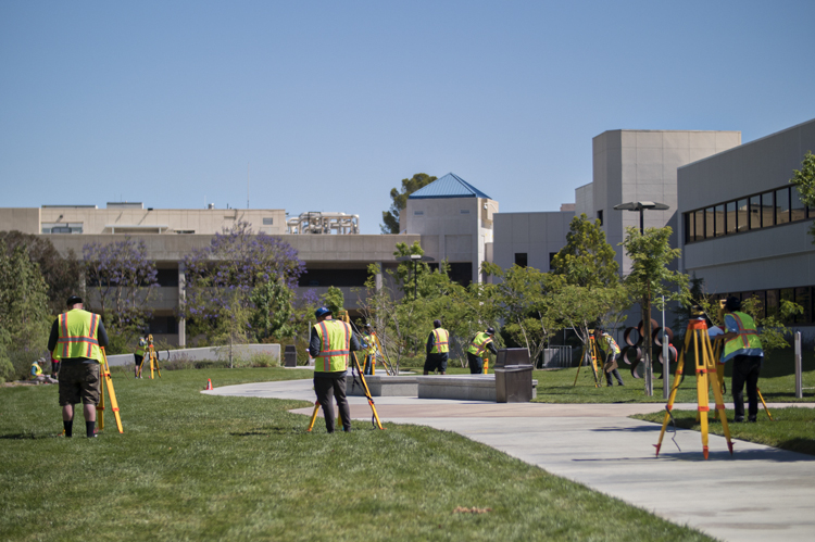
The focus of the Land Surveying program is to provide the student with a thorough background in land surveying and mapping in addition to an introduction to the collecting, manipulating, formatting and mapping of geospatial data. A student who successfully completes the program will have the technical expertise necessary for an entry level position in the field of Land Surveying or related fields of geographic information systems specialists, architectural services, and engineering services. Land Surveyors typically measure and record property boundaries and the topography of the land covered by construction and engineering projects. Surveys are used to establish legal boundaries to prepare maps and exhibits, and write descriptions of land tracts that satisfy legal requirements. The program also assists students in preparing for the State Land Surveyor-In-Training and the Professional Land Surveyor Exams.
Degree and Certificate Student Learning Outcome:
Students will be able to demonstrate proficiency in the core skills and knowledge required for employment in land surveying.
Program Requirements
Units Required: 27-28
SURV-101A
Introduction to Land Surveying Lecture | 3 units
SURV-101L
Introduction to Land Surveying Laboratory | 1 unit
SURV-102A
Advanced Land Surveying Lecture | 3 units
SURV-102L
Advanced Land Surveying Laboratory | 1 unit
SURV-103
Advanced Applications in Surveying I | 3 units
SURV-104
Advanced Applications in Surveying II | 3 units
SURV-260
Boundary Control and Legal Principles I | 3 units
SURV-265
Boundary Control and Legal Principles II | 3 units
SURV-110
Computer Aided Drafting for Surveyors | 3 units
MATH-102 or MATH-102X
Trigonometry | 4 or 5 units

Courses offered in
|
Fall |
Spring |
Summer |
|---|---|---|
|
101A |
101A |
101A |
|
101L |
101L | 101L |
| 102A | 102A | |
| 102L | 102L | |
| 103 | 103 | |
| 104 | 104 | |
| 110 | 110 | |
| 260 | 265 |
Global Navigation Satellite System (GNSS) Certificate Program
Certificate of Completion (Noncredit)
This program is offered through our School of Personal and Professional Learning. These courses are offered to California residents tuition free.
The Land Surveying Program offers a noncredit Certificate of Completion in GNSS.
GNSS technology has become a Land Surveying industry standard and there is an increasing need for Land Surveyors with GNSS technology skills. This program will provide students with a fundamental understanding of GNSS technology, Geodesy, field techniques and applications, GNSS data adjustments, processing, and analysis, and map projections. The purpose of the program is to provide both current surveyors and those new to the profession the skills and knowledge needed to conduct and process surveying projects in the workplace using GNSS technology.
Certificate Student Learning Outcome:
Provide a fundamental understanding of GNSS technology and Geodesy including field techniques and applications, GNSS data adjustments, processing and analysis, and map projections.
Courses: Each course is a total of 16 hours.
NC.SURV010 - Principles of GNSS Technology
NC.SURV015 - Fundamentals of Geodesy
NC.SURV020 - GNSS Leveling
NC.SURV025 - Survey Data Adjustments
NC.SURV030 - GNSS Techniques
NC.SURV035 - Map Projections
NC.SURV040 - Control Surveys Using GNSS
NC.SURV045 - GNSS Processing and Analysis